Philip Maber (an active member of the FoCW) has discovered from the Shoreham-by-cycle group that Sustrans have a new campaign to remove 16,000 barriers to cycling from the National Cycling Network. If we as a group can preserve the existing route of Centurion Way we will be very lucky. Our path already has extremely few barriers that present obstacles to it’s users. However some local connections onto our path could be better. It will be interesting to see if any improvements are targeted at our area of the National Cycling Network.
Paths for everyone is the Sustrans new report where they outline their objective to barriers that hinder any users of the National Cycling Network.

We are Cycling UK have published a comprehensive story about how Sustrans plan to remove all 16,000 barriers.
Philip has also discovered (from a FaceBook comment)a convenient way to display historic maps. Particularly of the old Midhurst railway (who’s original route Centurion Way now follows ). Example screenshot shown below.
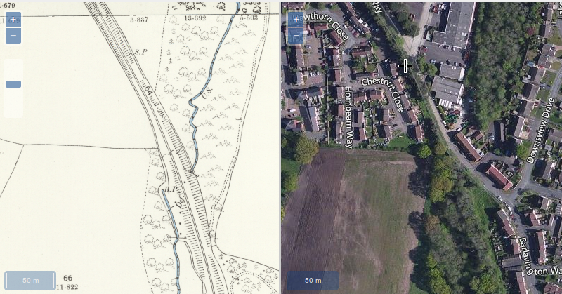
The side by side georeferenced map system he has discovered allows the historic map to be shown alongside a modern aerial style view. This link shows the area around (the now disused) Cocking station where Centurion Way may soon be extended.