The Friends of Centurion Way are delighted to share that we made a successful bid to the UK Shared Prosperity Fund for funds to support our project to restore and reinstate the Arch at the southern end of the path. This Fund provides grants allocated by Chichester District Council for heritage and community projects and the restoration of the Arch met the criteria on many levels, and our application was accepted in full.
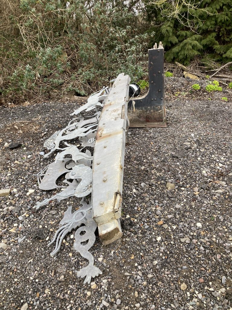
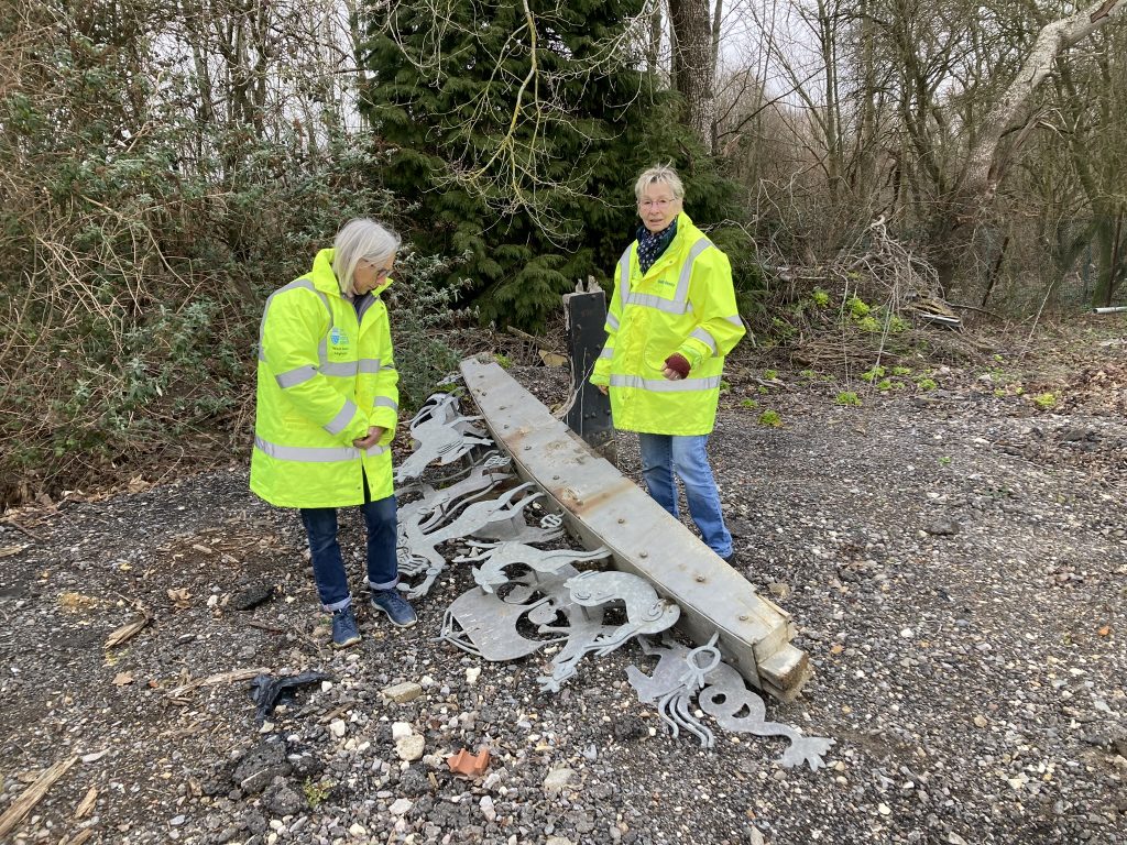
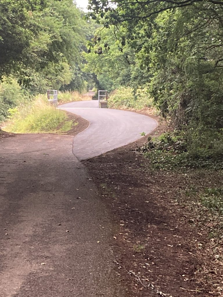
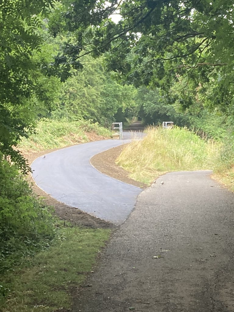
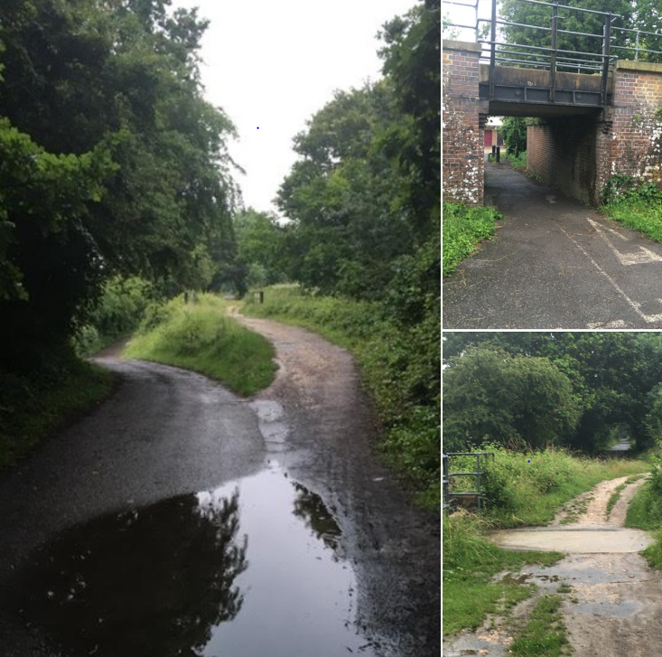
Our plans are ambitious – to restore and reinstate the arch by the end March 2025, rebuilding the original structure in galvanised steel. The original arch was sculpted from the hull of an old minesweeper from Portsmouth harbour in 1995 by Richard Farrington, and installed with the other sculptures along the path which remain in situ. With the help fo this funding, we will work with Southsea blacksmith, Peter Clutterbuck, who has a number of civic installations to his name, to restore the arch and its adorning original mythical sculptures. The arch creates a meeting point at the start of the path, marking the crossing point of three cycleways and signposting Centurion Way to the north – a wonderful link between City and Downs along its current 9km from Chichester to West Dean. The South Downs National Park authority has concrete plans underway to extend Centurion Way up as far as Midhurst through the national park and linking to the South Downs Way. As part of our reinstatement project, we also plan mounted information boards at the site of the arch and up at the amphitheatre near the other original sculptures, and hope to work in partnership with the South Downs National Park in sourcing these.
We have been awarded £17,500 by the UKSPF in addition to generous support from the City Council and a smaller grant from Miller Linden Homes. West Sussex County Council own the land and will assist us with the planning and permissions to reinstate the arch working around the approved plans for the new Southern Access Road and its junction with Centurion way. We are incredibly grateful to the local residents and councillors who have supported us over the years, first working to protect and prevent the diversion of the southern end of the path and latterly with our plans to restore the archway and celebrate the start of this wonderful community asset. Subject to final costs, there may be a small funding shortfall for which we may launch a local fundraising effort in support, and we will continue to post updates as this project progresses.
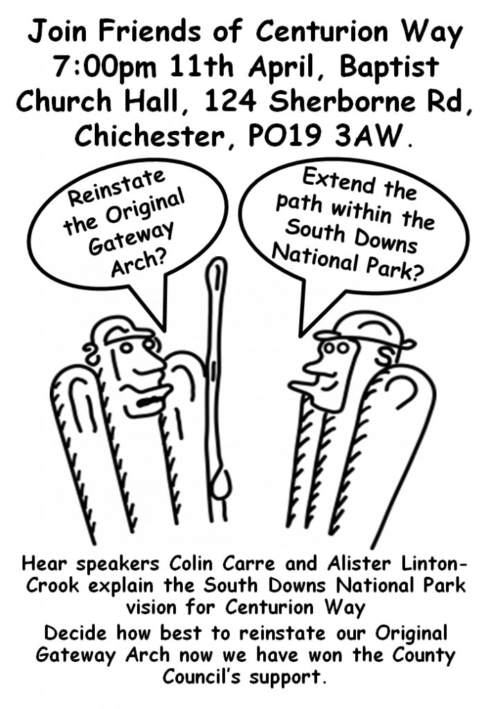
Friends of Centurion Way have a history of hosting community and fundraising events on the path over many years including Easter and Halloween trails, film shows, cycle rides and our popular Beating of the Bounds walk on New Year’s Day….. please look at our website http://centurionway.org.uk/ and Facebook site for details and more information on the history of the path. Whilst we have over 1000 supporters, we are a small core group of community volunteers and are very grateful for offers to help us, particularly in support of our events. Our most recent event was a fascinating talk on Centurion Way and the future plans for its extension, with guest speakers from the South Downs National Park and from our project lead on our plans to restore the Arch. We do not charge for membership and all are welcome.
For more information on the Arch Restoration project, please contact Carley Sitwell on 07891382961 or by email: carleysitwell@gmail.com